Save time and other resources
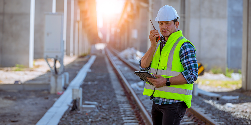
Road managers for the major traffic infrastructures use a lot of their time to monitor the railroads, highways, or waterways for which they are responsible. Driving or navigating their infrastructure, making reports and planning action, such as maintenance is all very labor intensive.
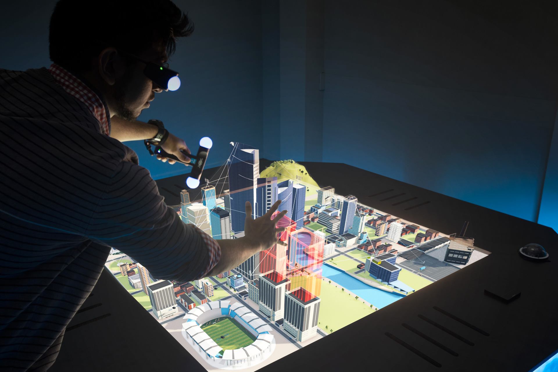
Tekle Holographics has built a solution that monitors railroads with the help of a Lidar scanner and displays the result real-time in a holographic. The software behind Tekle Holographics uses the input of the Lidar scanner and compares the outcome with the previous data, to determine if anything has changed. This is done by overlaying the old data with the new data.
The result is compiled into a holographic image which shows the situation in real-time. This makes it possible to determine whether trees or bushes are threatening to overgrow the rails for example. Any possible imminent damage is also identified.
Benefits for Rail & Infrastructure
Cost-effective monitoring and planning
Save time, money and man hours using our solution. There is no need to visit locations in person and write reports.
Works with any transportation infrastructure
The Lidar scanner on the front of trains can just as easily be placed on cars – for highways – and boats – to scan rivers, canals, and other waterways.
Get real-time data for all transportation
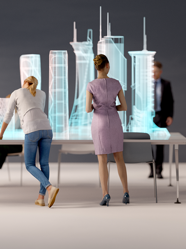
All the major transportation infrastructures visible in a real-time holographic display. Filter by area, region, or category.